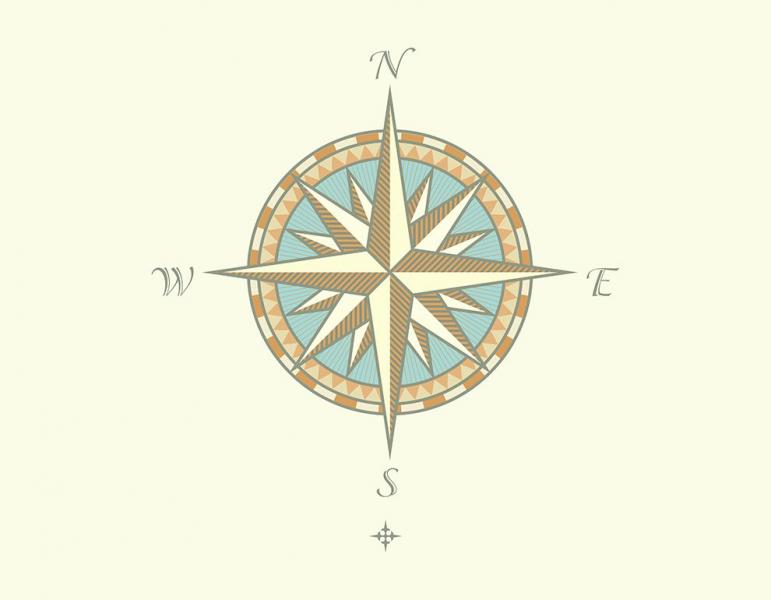
1
Is a measure that in cartography expresses the angular distance between a given point on the surface
2
Is the portion of the map that displays the data layers. This section is the most important and central focus of the map document
3
It is the angular distance between a point on the earth's surface and the Ecusdor.
4
Portion of a map constitutes the metadata of the map.
6
The map _______ should instantly give the viewer a good idea of what the map is depicting.
7
Longitude and latitude are measured in ____
8
It simply displays the symbol followed by a text description of what that symbol represents.
9
Is the relationship of proportion between the real dimensions of an object and those of the drawing that represents it.
10
Is a simplified graphic representation of a territory with metric properties on a two-dimensional surface that can be flat, spherical or even polyhedral.
